Texarkana to New Orleans is roughly a 420 mile journey which should take (according to mapquest.com) 7 and a half hours.
Lori and I left the kids with her family and did the journey on our own. Although quite a lot of the tourist attractions in New Orleans are the kind of thing that they’d like, the journey there is a bit much by car and hotel accommodation for all of us would have been quite expensive.
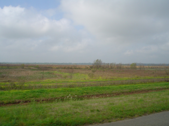
We left at 6:15am in order to get to the hotel by the check-in time of 3pm and drove along US-71 to Shreveport (66 miles), I-49 (207 miles) and I-10 (131 miles). I-49 has got to be one of the most boring roads ever, there’s practically nothing along it except trees or open ground for miles at a time.
It has to be the worst place to find that the fuel gauge is down on the red but that’s what happened to us. Managed to find a little out-of-the-way place that charged more than normal for the fuel so we put about half a tank in and made our way on down I-49 to a proper stop with fuel and food etc.
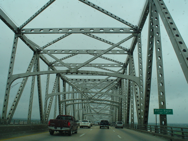
On I-10 we passed through Baton Rouge over this bridge. The photo is a little speckled because it was taken through the windscreen and it was raining a bit, not to mention all the bugs from the 200+ mile drive. I-10 has quite a few bridges where it goes over swamp and rivers. One of them is called Atchafalaya Basin bridge and consists of 18 miles of road supported by pairs of large concrete posts.
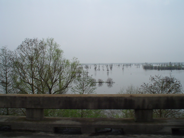
This is what it looks like crossing a fair bit of the basin. There are a few bits of solid ground, but not a whole lot of it. Around the middle of the bridge is the Atchafalaya Welcome Center – a tourist information centre. We didn’t go in, just passed the sign for it.